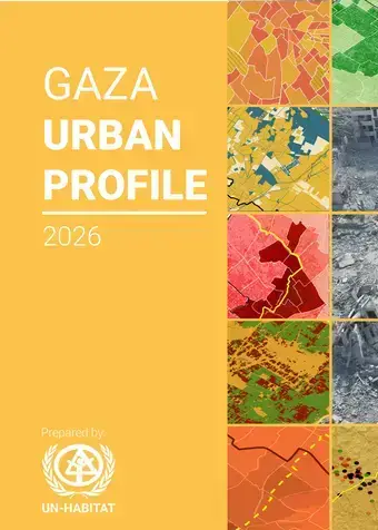
The Gaza Urban Profile 2026 provides a comprehensive, spatially informed and evidence-based analysis of the scale and geographic distribution of urban deterioration across the Gaza Strip. It examines how widespread destruction, displacement, restricted access, and the collapse of infrastructure and essential services have affected the functionality of Gaza’s urban areas and the daily lives of its population.
Building on an analysis of pre-war urban conditions and post-war deterioration, the Profile brings together spatial, demographic, infrastructure, housing, service and other sectoral data to provide an integrated understanding of how Gaza’s urban systems have been affected. It moves beyond individual sector assessments to examine the interdependencies between housing, infrastructure, basic services, mobility, public facilities and other critical urban functions.
A key feature of the Profile is the Neighbourhood Functionality Index, which provides a spatial assessment of functionality across Gaza’s neighbourhoods. The analysis indicates that more than 95% of neighbourhoods exhibit low, very low or extremely low levels of functionality, highlighting the catastrophic scale of urban deterioration and the magnitude of recovery needs.
The Gaza Urban Profile 2026 provides a critical evidence base to support national and local authorities, humanitarian and development partners, donors and other recovery actors in the prioritization, localization and sequencing of immediate, medium- and long-term interventions. By identifying spatial patterns of deterioration and functionality gaps, the Profile supports a more coordinated and area-based approach to recovery and reconstruction, helping inform where interventions are most urgently needed and how they can contribute to progressively restoring neighbourhood functionality across the Gaza Strip.
 Compartir