Featured
- Reset filters
- 135 results
- (-) 2012
Technical Report
Designing a Land Records System for the poor, Secure land and property rights for all
2012
Designing a Pro-poor Land Recordation System is the first attempt to fill the gaps in the development of new forms of land recordation to assist the implementation of a continuum of land rights approach at scale. It is about the development of the initial design of a pro-poor land recordation system - a recording system aimed at supporting the recognition and protection of a range of rights of the poor.
Read now
En savoir plus
Urban Profile
Solomon Islands: Auki Urban Profile
2012
Urbanization has improved the standard of living for many people in the country as it often brings in greater wealth and economic opportunities for the national population.
Read now
En savoir plus
Urban Profile
Antigua and Barbuda: National Urban Profile
2012
The islands of Antigua, Barbuda and Redonda make up one nation. They are situated near the centre of the Caribbean archipelago, and are part of the Lesser Antilles and Leeward Islands groupings.
Read now
En savoir plus
Urban Profile
Antigua and Barbuda: All Saints Urban Profile
2012
The All Saints Urban Profiling consists of an accelerated, action-oriented assessment of urban conditions, focusing on priority needs, capacity gaps, and existing institutional responses at local and national levels.
Read now
En savoir plus
Urban Profile
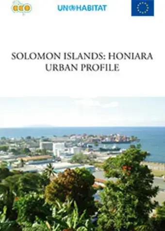
Solomon Islands: Honiara Urban Profile
2012
Honiara is the capital of Solomon Islands and is situated on Guadalcanal Island. It serves as the main administrative, educational and economic centre for the country.
Read now
En savoir plus
Urban Profile
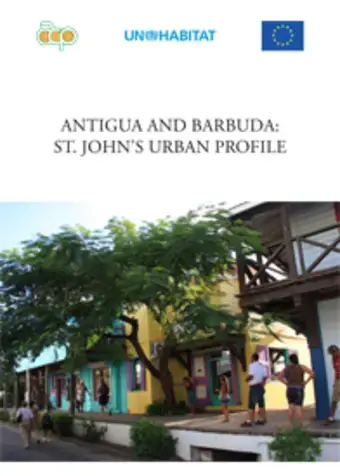
Antigua and Barbuda: St. John's City Urban Profile , West Indies
2012
St. John’s, situated in Antigua, is the capital of the three-island nation of Antigua, Barbuda and Redonda. St. John’s City has a population of about 25,000 - 32% of the country’s total population.
Read now
En savoir plus
Urban Profile
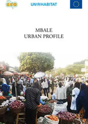
Uganda: Mbale Urban Profile
2012
Mbale is a Municipality in Mbale District in the eastern part of Uganda. It began as a commercial centre for Arab slave traders and later attracted Indian traders who had come to East Africa to build the railway line.
Read now
En savoir plus
Urban Profile
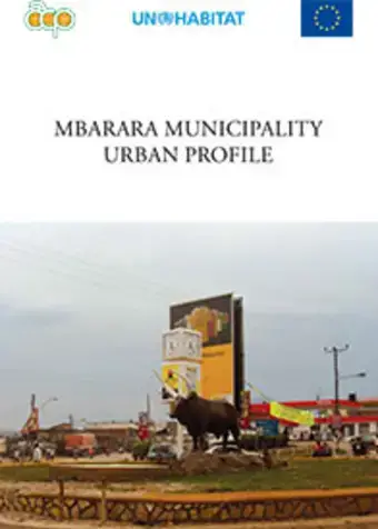
Uganda: Mbarara Municipality Urban Profile
2012
The Municipality of Mbarara is believed to have picked its name from a tall grass locally known as Emburara (Hyperemia ruffa) that covered the whole area.
Read now
En savoir plus
Urban Profile
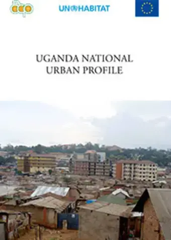
Uganda: National Urban Profile
2012
Uganda is a landlocked country, lying astride the equator in East Central Africa occupying 241,551 square kilometres, 18 percent of which is composed of inland waters and permanent wetlands.
Read now
En savoir plus
Call for Proposal
Annex A: Partner declaration form-SAMPLE
Posté le avril 15th, 2024
Read now
Document
Communication from the Embassy of Ukraine in the Republic of Kenya for the period of 2 March 2024 to 22 March 2024
Posté le avril 12th, 2024
Read now
Document
Five-fold Income Expansion for Aged Women through Cassava Peel Recycling for Animal Feed (FINTRAFs)
Posté le avril 12th, 2024
Read now
Document
The Africa Group Regional Consultations with UN-Habitat
Posté le avril 9th, 2024
Read now
Document
Regional Office for Arab States Overview of Activities – North Africa
Posté le avril 9th, 2024
Read now