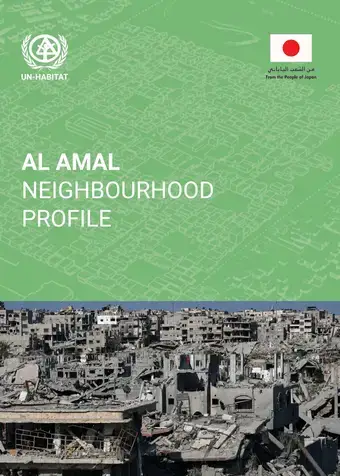
The Neighbourhood Profiles provide localized analytical lens needed to understand how these impacts are experienced, distributed, and compounded at the neighbourhood scale. They are designed as practical decision-support tools that translate Gaza-wide urban analysis into neighbourhood-level evidence for action.
The profiles move beyond damage-centric assessments to provide a multidimensional understanding of how neighborhoods function as integrated urban systems. They examine neighbourhoods as interconnected spatial, social, and service systems, capturing how housing conditions, infrastructure networks, land and tenure arrangements, access to services, population dynamics, and local governance interact in a post-conflict environment.
By focusing on neighbourhood functionality and recovery potential, the profiles help advance area-based and phased recovery across the Gaza Strip. They provide an evidence base to inform humanitarian targeting, early recovery planning, and reconstruction sequencing, helping move from immediate stabilization to longer-term reconstruction through clearer priorities, locations, and timelines.
The methodology is grounded in a comparative, area-based analysis that examines neighbourhood conditions before and after the war and integrates credible secondary data, high-resolution satellite imagery, field verification, and qualitative inputs where access permits. The findings are translated into a neighbourhood profile and a phased recovery road map, supporting prioritization, programming, and recovery sequencing.
 Share
Share