Overview
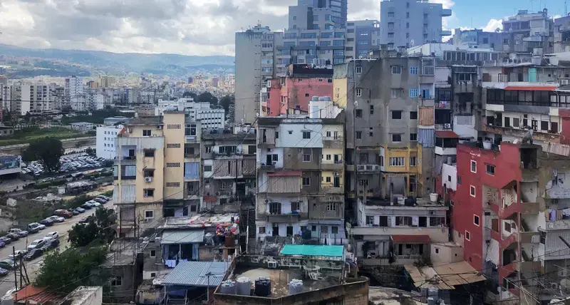
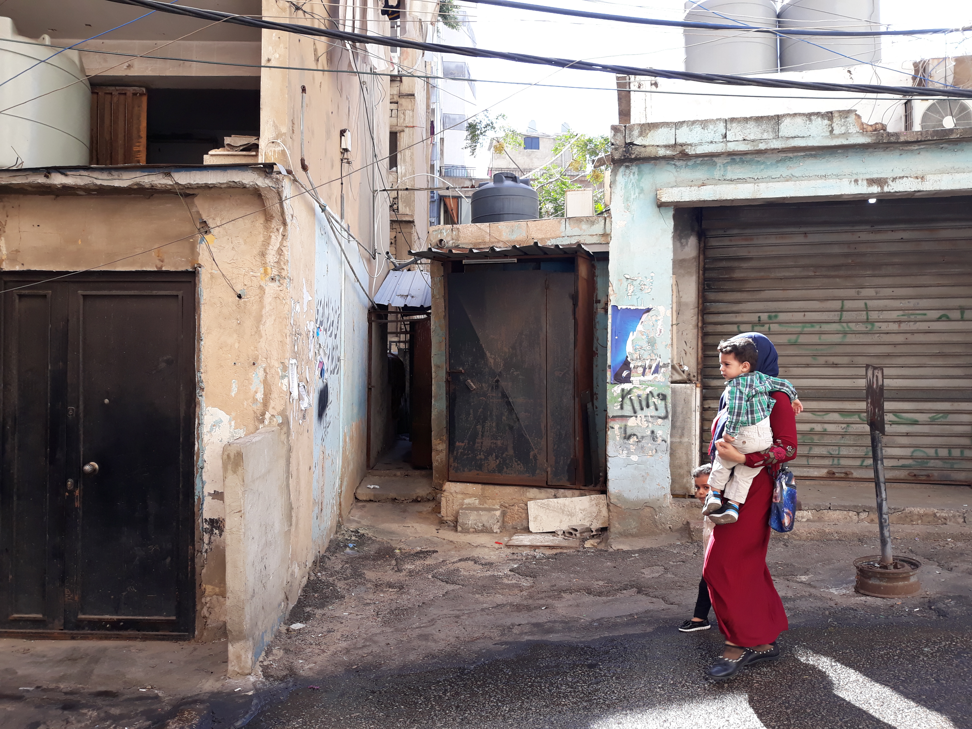
Since the beginning of the Syrian refugee crisis in 2011, Lebanon has hosted a large number of Syrian refugees, many of whom are located alongside other vulnerable non-Lebanese and poor Lebanese in urban settings that were already stressed before the crisis onset. In a long-standing national context of scarce data, combined with ever-growing pressure to maximize efficiencies in intervention funding, there is an urgent need for reliable multisectoral and spatialized information. Such holistic, area-based data can support municipalities and other state and non-state entities to mitigate vulnerabilities for all residents living together in an area and for reducing community tensions, such as host-refugee ones. UN-Habitat-UNICEF neighbourhood profiles offer such a springboard for moving towards sustainable development, shedding light on how relatively fixed built environments and relatively mobile social dimensions interface with each other in specific contexts.
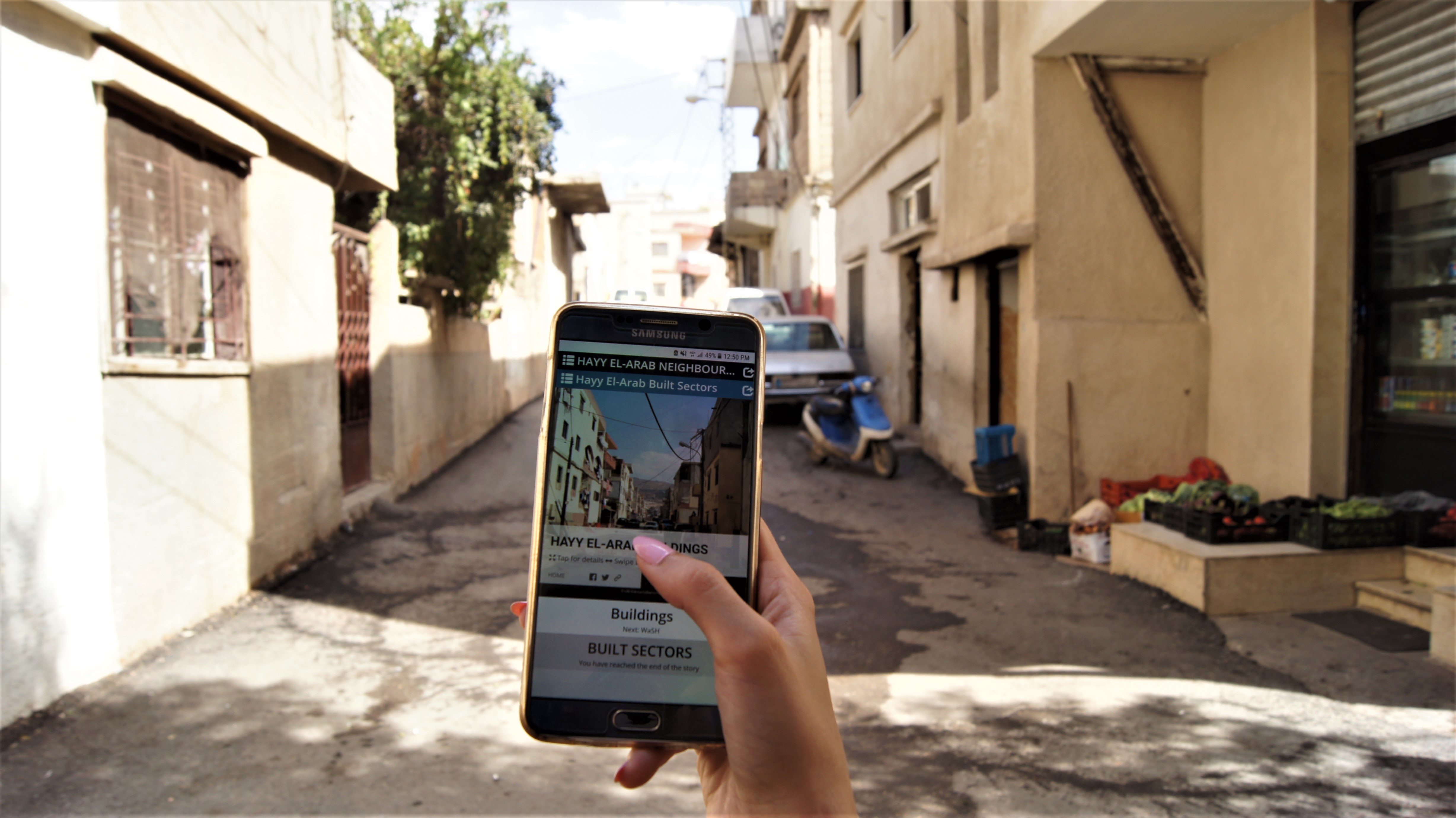
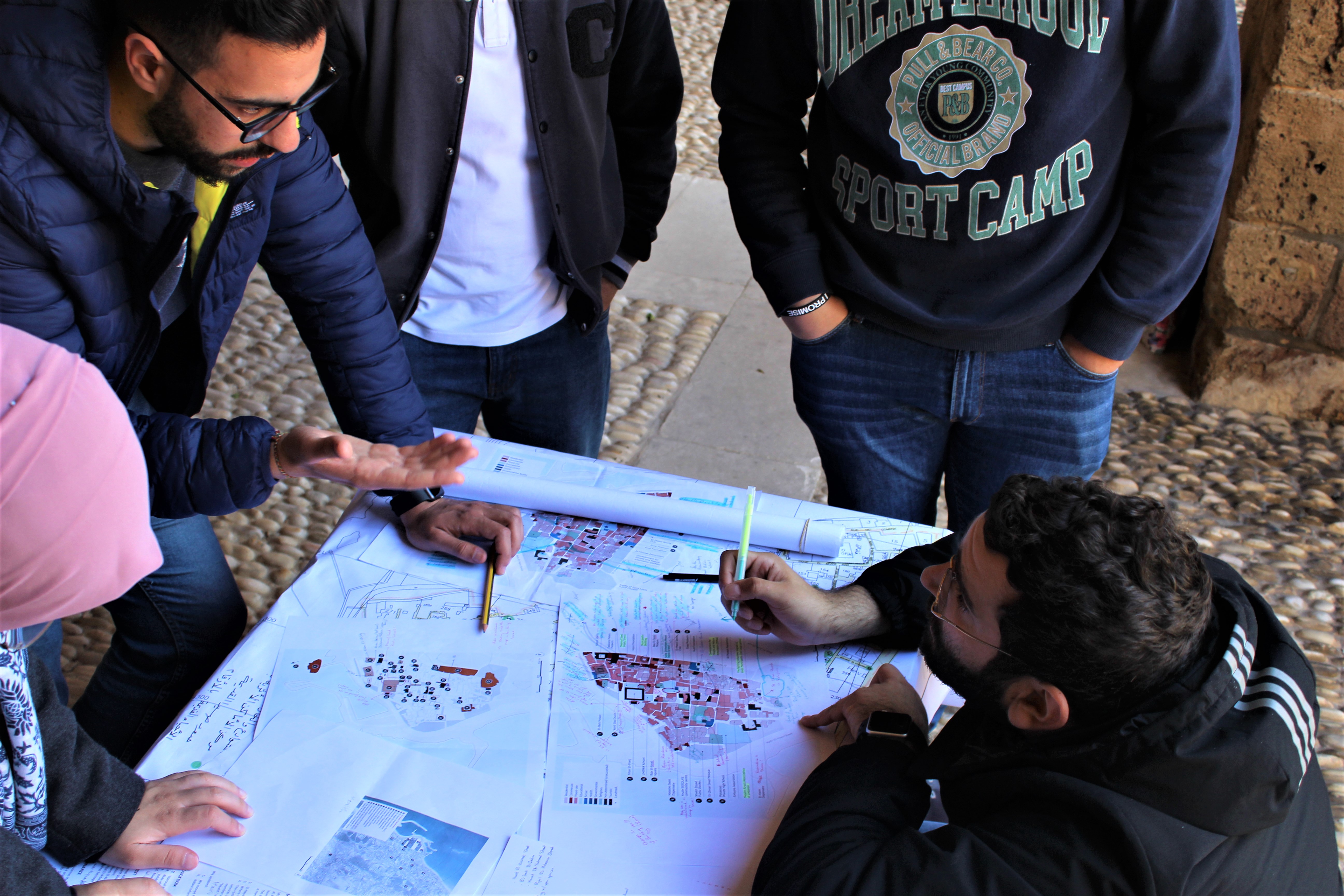
The online portal of neighbourhood profiles includes individual profiles per neighbourhood, an interactive geoportal presenting the mapped data of all neighbourhoods, and a database of comparable indicators for all neighbourhoods. Check out the Urban Profiling Toolkit developed with the goal to assist practitioners in implementing urban profiles in conflict-affected countries to learn more.
