Nairobi, June 2020 – UN-Habitat is working with partners and community volunteers to collect data on the location of handwashing facilities, markets, transport stops and other key facilities and services connected to COVID-19 transmission, prevention and treatment in 10 informal settlements and slums in Kenya.
Through consultations with partners, UN-Habitat identified more than 15 key facilities for mapping including water points, public spaces, health facilities, handwashing facilities, toilets, communal kitchens, education facilities, social halls and community centre, markets, transport stops, waste collection bins and dumping area, local NGO offices, pharmacies and chemists, places of worship and workshops.
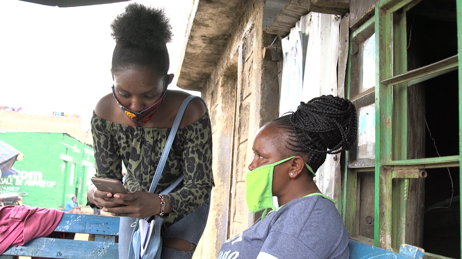
The first data mapping took place over three days in Nairobi’s informal settlements of Mathare and Kibera. The volunteers were trained in digital data collection using the ‘Kobo Collect’ App, an open source app customized to allow collection of location data on facilities and partners’ offices using GPS coordinates. The app can also collect data on the condition of the facilities, their reliability and the services they offer to the community.
The informal settlements in Kenya are at particular risk of seeing a rapid spread of COVID-19 due to the overcrowded conditions and lack of places to self isolate or handwashing facilities.
“Once we understand the availability and distribution of basic facilities and resources in an area we can assess the risks and the required interventions,” said Robert Ndugwa, Head of Data and Analytics for UN-Habitat.
“The success of our COVID-19 responses in informal settlements will depend on how well we understand what our partners do, where they operate and how they do it,” said Thomas Chiramba, Senior UN-Habitat Officer in charge of Kenya. “Equally, there is need to understand and coordinate activities of different partners working in these informal settlements if we are to maximize our impact during the response phases.”
The data will be used to produce maps on the distribution, concentration and functional status of facilities to compare with the existing demand in the areas covered. The data will enable the Kenyan Government and the county governments to identify key gaps where services are most needed. The analysis will show areas which are at a higher risk of COVID-19 spread based on the availability of basic services such as water, sanitation and handwashing.
The mapping of partners will provide a full picture of the level of support from various organisations and will contribute towards improving partner coordination, service provision and community engagement in informal settlements.
In the coming weeks, this UN-Habitat-designed rapid survey will be extended to mapping the services and partners working in other informal settlements in Nairobi, Kisumu and Nakuru counties.