Inhambane, Mozambique, February 2, 2022 – Provincial officials in this southern province are benefitting from a project run by UN-Habitat and its partners that will equip government officials with better planning and investment prioritisation decision making processes that could lead to more integrated strategic sustainable development.
Implemented in cooperation with the Catalan Agency for Development Cooperation (ACCD), the Provincial Executive Council of Inhambane, and the Ministry of Territory and Environment of Mozambique, the project will better link all administrative units to facilitate strategic planning and coordination between subnational and local institutions with the central government.
To provide an understanding of the territorial dynamics of the region and the role that settlements play in this structure, data will be collected in a simplified, rapid and participatory way through a Matrix of Functions, based on the presence of key environmental services, physical infrastructure, social and economic activities. Participants were trained on the better use of the Matrix tool.
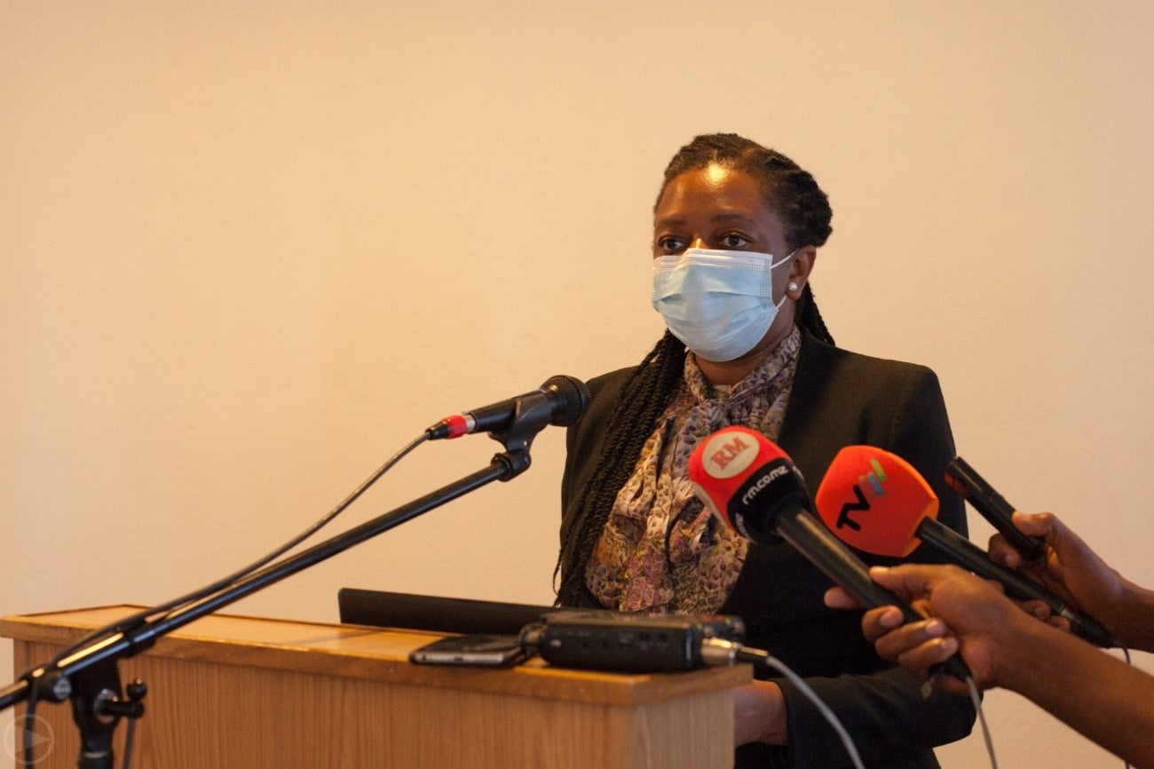
“This initiative surges from the Government of the Inhambane Province and aims to strengthen the capacities on planning and territorial management with the Matrix of Functions […]. This tool through a participatory mechanism, allows to picture an interpretation of the provincial territory,” said Wild do Rosario, Head of Programme of UN-Habitat in Mozambique.
The Matrix of Function is a spatial planning tool that will allow to establish a precise and rapid analysis of the territory of the province, understanding its functioning and exploring its potential, as well as identifying spatially relevant gaps in terms of services and infrastructure for social and economic development.
This tool produces a set of hypotheses and assumptions about the existing network of human settlements and their organisation that allows visualizing and analyzing the qualities of the territory from which policymakers and society can better plan their investments.
In addition, the tool allows to identify the current spatial structure (socioeconomic dynamics) supported by "clusters of settlements" with a similar level of development (settlement concentration areas that are strongly interconnected and work cooperatively in terms of socioeconomic activities), or isolated providing important functions to neighboring less developed settlements.

“Inhambane is a province with a potential acknowledged at national, regional, and international level. With its coastline, it has an enormous potential for development,” said Daniel Francisco Chapo, Governor of the Province. “However, in order to achieve a more balanced development in the province, the provincial executive considers there is a need to support the implementation of development plans in order to prioritize investments.”
Inhambane is a province in the southern region of Mozambique with a 700 km long coastline and enormous potential for the development of agriculture, forestry and wildlife, tourism, mining (gas, heavy sands, limestone) and marine resources.
In order to achieve a more balanced development in this vast territory, it is necessary to support the design and implementation of development plans in order to be able to identify development asymmetries between the different territorial units in order to prioritize investments that may be considered by the Government and its partners.
The project will also take advantage of the experience of Catalonia in the creation of the Urban Agenda of Catalonia, called to be an important reference in relation to urban policies defined at the regional level, approached from a comprehensive and territorially integrating perspective.
This project will be aligned with the SIRI Project, funded and led by ACCD, and also implemented in the same area, which aims to improve the urban governance of the province of Inhambane, particularly in relation to resilience, inclusion, sustainability and the job.